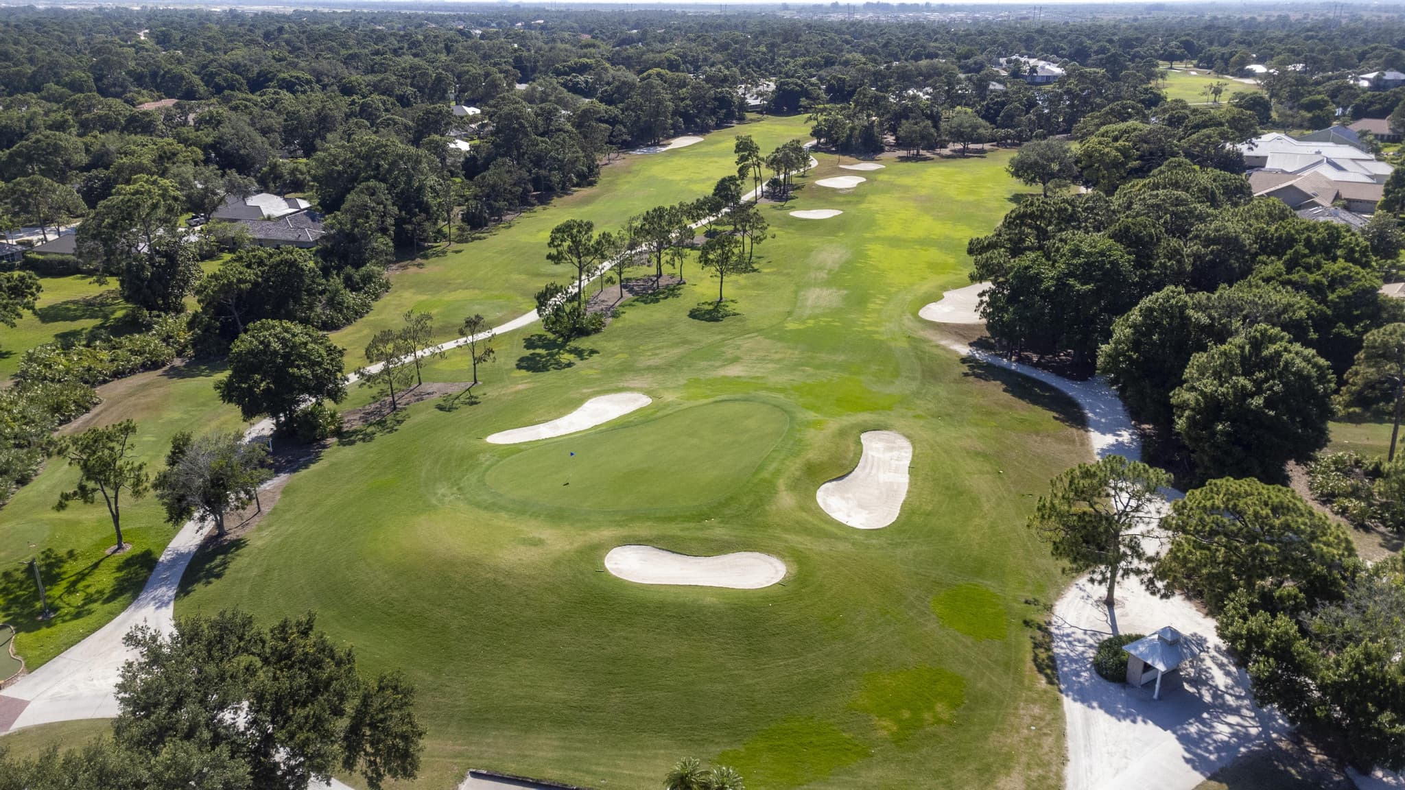
In Florida, the lot is often the listing. Canal frontage in Fort Lauderdale, river-to-ocean parcels in Vero Beach, golf-course position in Boca Raton: none of it reads from the driveway. Drone photography exists because the most valuable facts about a property are visible only from fifty feet up.
What drone coverage should include
- Aerial stills that show the lot, its boundaries, and what surrounds it
- Altitude shots that place the property in its neighborhood and near its water
- A drone video pass; ipixx opens listing films by flying from the sky straight to the front door, then cutting inside
- Angles that document roof condition and outbuildings for serious buyers
The legal part, briefly
Commercial drone work in the U.S. requires an FAA-certificated remote pilot operating under Part 107, airspace authorizations near airports included, which matters on a corridor with as many airports as Miami to Jacksonville. When you hire listing media, you are also hiring someone whose job is to know where they can legally fly. Ask.
Drone as part of the package, not an upsell
Many vendors price drone work as a separate line item. ipixx builds it in: drone photos ship with most packages, and drone video is included in Complete and Ultimate sessions. One crew, one visit, one flat price. See the rate card for what is included at each level.
More field notes
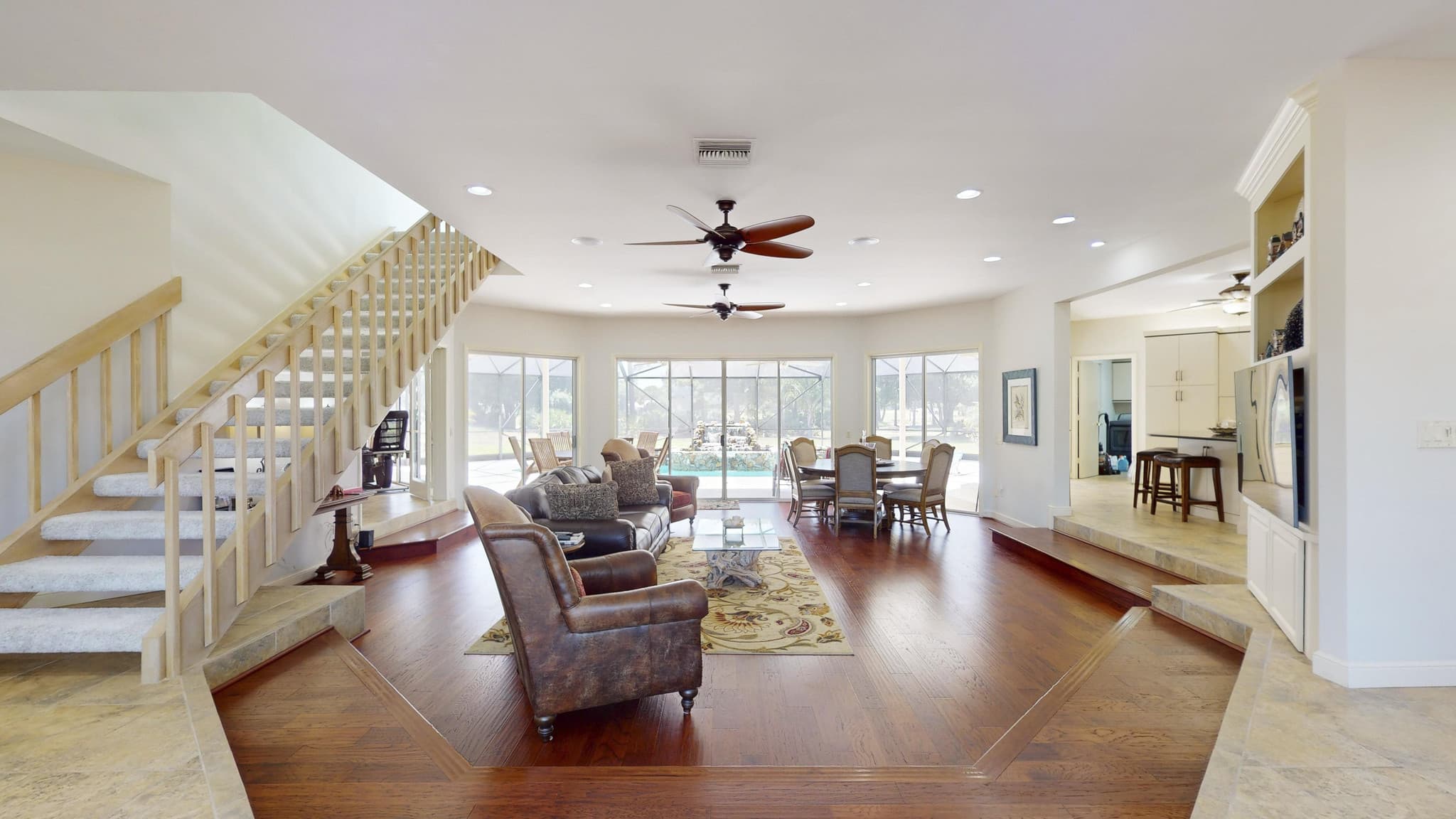
How many photos does a listing really need?
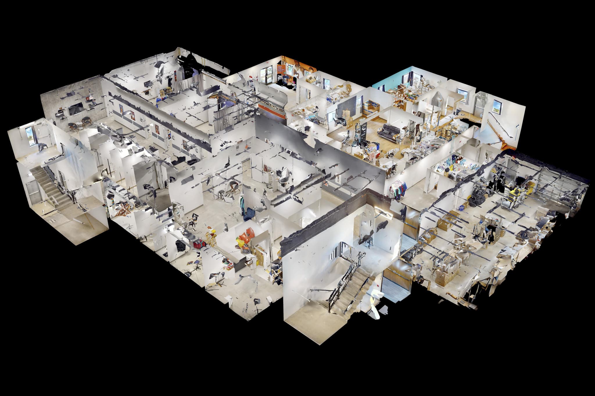
Matterport 3D tours: what they are and why buyers expect them
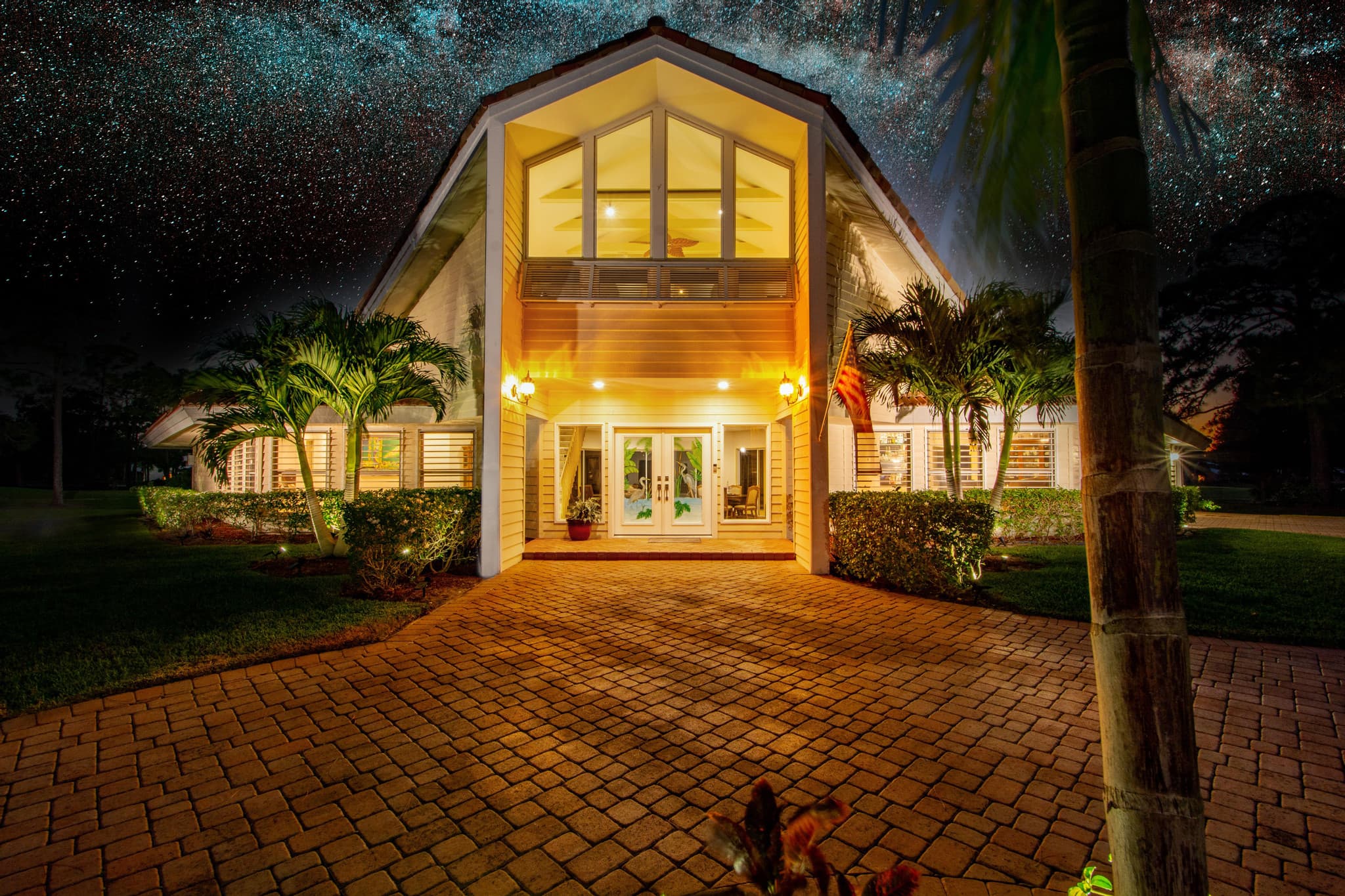
What does real estate photography cost in Florida?
Ready to see the difference on your next listing?